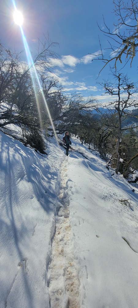
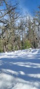
On Wednesda we only had 3 of us brave enough to get out on the snow covered trails of the East Applegate Ridge Trail. It was a chilly 28° when we started hiking. There was snow in the parking lot, so we all put on Yak Tracks, Microspikes, or EXOspikes.
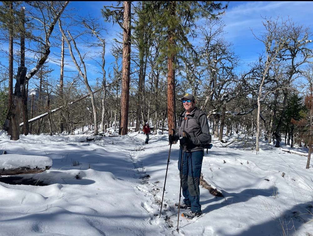
As we made our way up, we were surprised there was a minimal amount of downed trees. They are smaller so likely the branches were not as heavy. Eventually, we encountered some downed limbs, but nothing we could not navigate around.
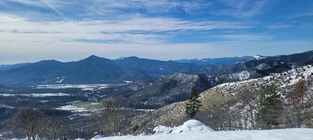
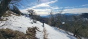
When we reached the ridge, we had amazing snow covered views of the valley below and Woodrat Mountain. We commented that there likely would not be any paragliders any time soon. The Red Buttes looked outstanding.
As we went along farther, we noticed a downed tree that was in the notch of another tree. I took a photo and marked the spot on my GAIA map so I could send the coordinates to Jim with the Siskiyou Upland Trail Association. He forwarded the information along to the Applegate Trail Association. It wasn't a pressing matter, but could become a problem as the trail goes below the downed tree.
We had been hiking in snow that was often ankle deep and a few times it was mid calf. We decided to stop at the bench for lunch. I shared Valentine's sugar cookies with pink frosting and heart shaped sprinkles. I went a bit beyond the bench and all the other tracks from other hikers were no longer visible. We decided to turn around and head back to our car.
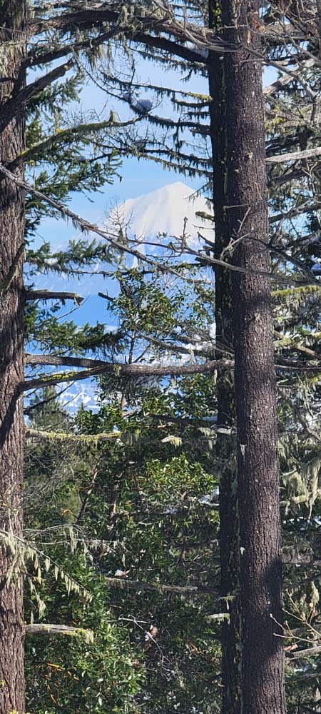
Since there was so much snow, I happened to look to the right and I could see Mount McLoughlin through the trees. I trudged through the snow and took a zoomed picture. None of us realized there was any point along the trail that you could see Mount McLoughlin.
We were back at the car by 2:30 and had hiked 6.3 miles and gained 1,502 feet of elevation.
Francie
-
20250212_095936

-
20250212_100525

-
20250212_102012

-
20250212_103004

-
20250212_103011

-
20250212_104408(0)
_thumb.jpg)
-
20250212_121724

-
20250212_123122

-
20250212_124336

-
20250212_124445

-
20250212_124504

-
20250212_124518

-
20250212_124521

-
20250212_124542

-
20250212_124654

-
20250212_124749

-
20250212_125238

-
20250212_130834

-
20250212_131210
-
20250212_131246

-
20250212_133300

-
20250212_135054

-
20250212_135252
-
Screenshot_20250213_121529_Gallery

-
Screenshot_20250213_121539_Gallery

-
Screenshot_20250213_121549_Gallery

-
Screenshot_20250213_121638_Gallery

-
Screenshot_20250213_121658_Gallery


.jpg)